A Race Against Time on the Spout Path
By: Patricia Boulter

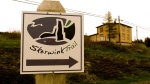
I have been hearing about the Spout Path, a section of the East Coast Trail, since I moved to Newfoundland. I have heard various descriptions of it being beautiful, mesmerizing and challenging. It has been on my bucket list for some time, and now I can finally say that I have done it!
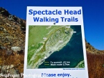
On the East Coast Trail’s website the Spout Path is described as strenuous and reserved for the most experienced of hikers. I can attest that this is indeed true. Having access to only one vehicle, we decided to start and end the hike in Bay Bulls. This is the most scenic and also the most difficult section of the trail. This route is a 25.4 km hike (roughly 8-11 hours). We knew we would come out with sore muscles, but huge smiles on our faces. The reality proved to be quite different.

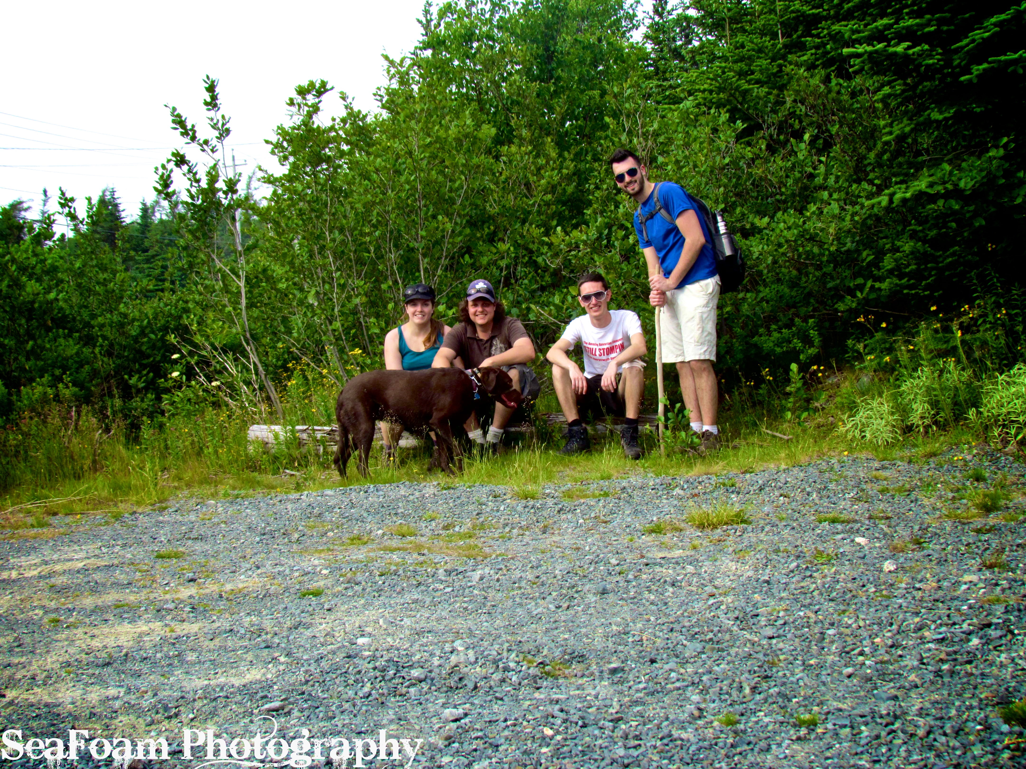
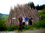
We decided to take our Chocolate Lab (Ava) with us after reading many accounts of dogs successfully completing the hike. We did not make this decision lightly as Ava has accompanied us on all of our previous hikes and seemed quite up to the task. We knew there had been instances of dogs falling off cliffs and either dying or being grievously injured in the past, but we were confident that our dog was trail savvy. Indeed, Ava turned out to be quite savvy in that she stayed at our heels and listened to our every command, but in the end the trail proved to be too difficult for her. This account of our hike should thus read as both an inspiration for those wanting to pursue our footsteps, but also as a cautionary tale of what can happen along the trail when the unexpected happens.

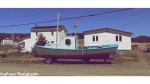
We learned the lesson the hard way that this hike MUST be started early in order to be enjoyed fully (and safely). After completing exhausting work weeks, no matter how persistent our 7 a.m. alarm clock was, we could not drag ourselves out of bed on schedule. By 9 a.m. we were fully functioning and committed to the hike. We were on the road by 9:50 a.m. and reached Bay Bulls at 10:25 ( a better start time would have been between 8:00-9:00 a.m.).

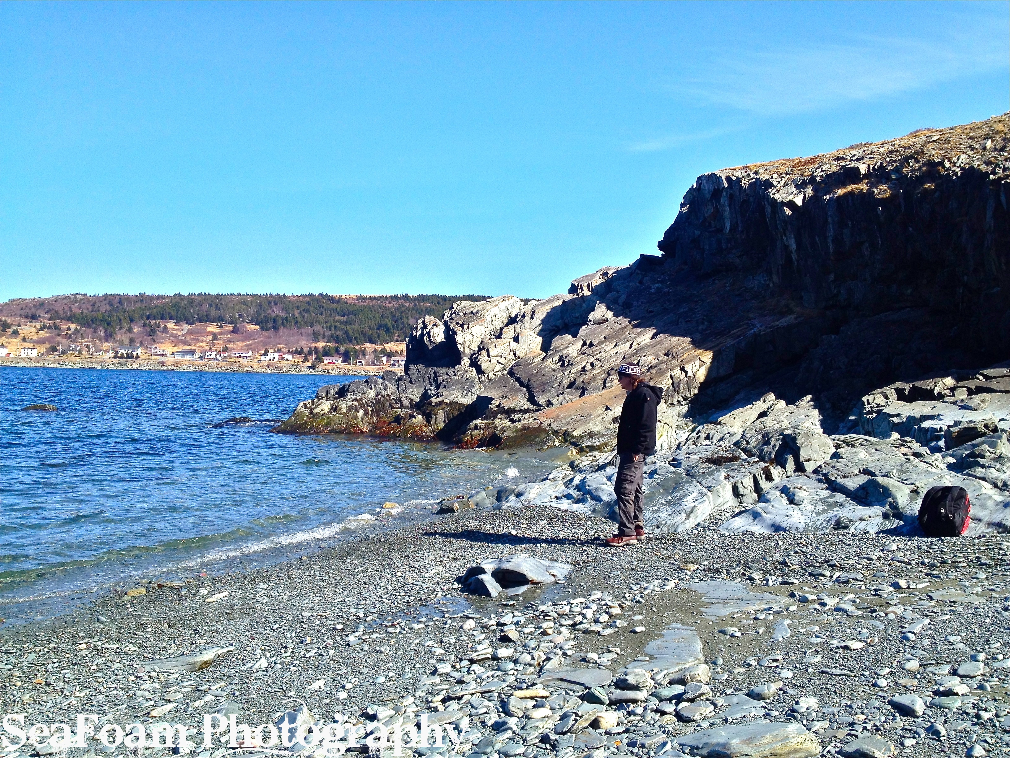
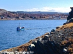
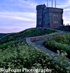
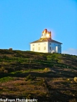
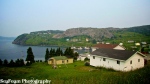
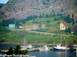
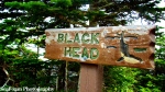
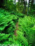
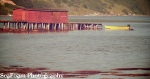
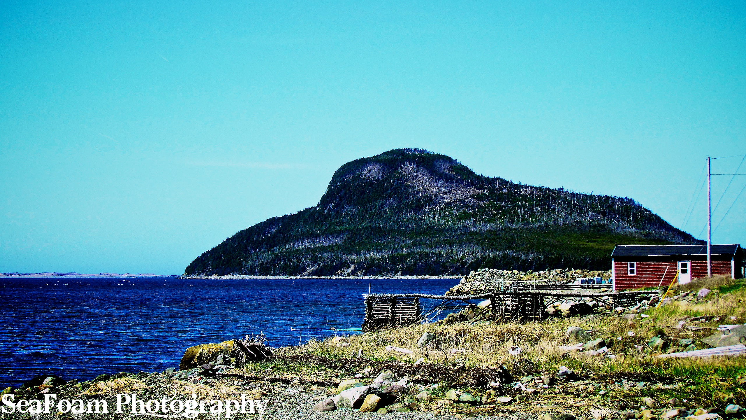
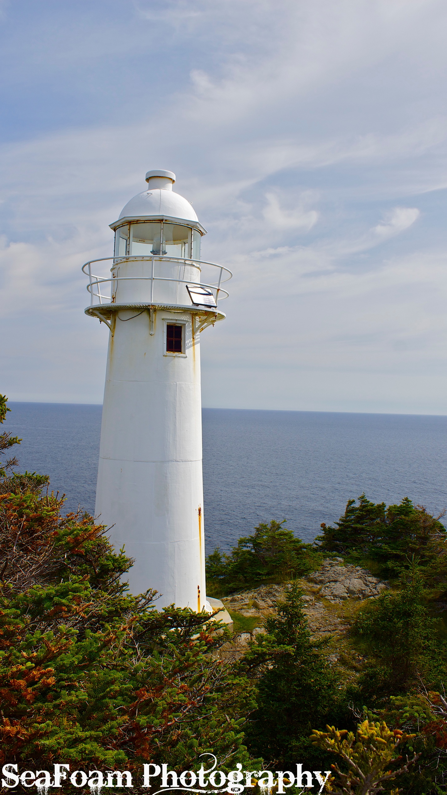
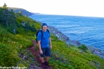
We parked our car between two grave yards at the end of North Shore Road. The first leg of the hike was deceptively easy, there were a few ups and downs but nothing drastic. The trail, like all of the East Coast Trail, is varied and should be attempted only by those who have a relatively high level of fitness. It took us 1.5 hours to get to the lighthouse at North Head, which is only 3.5 km into the 25.4 km total distance. At this point we knew the leisurely pace we had set and the numerous photo opts must stop since we started so late. After the lighthouse we began to pick up our pace, and put some kilometers at our back.
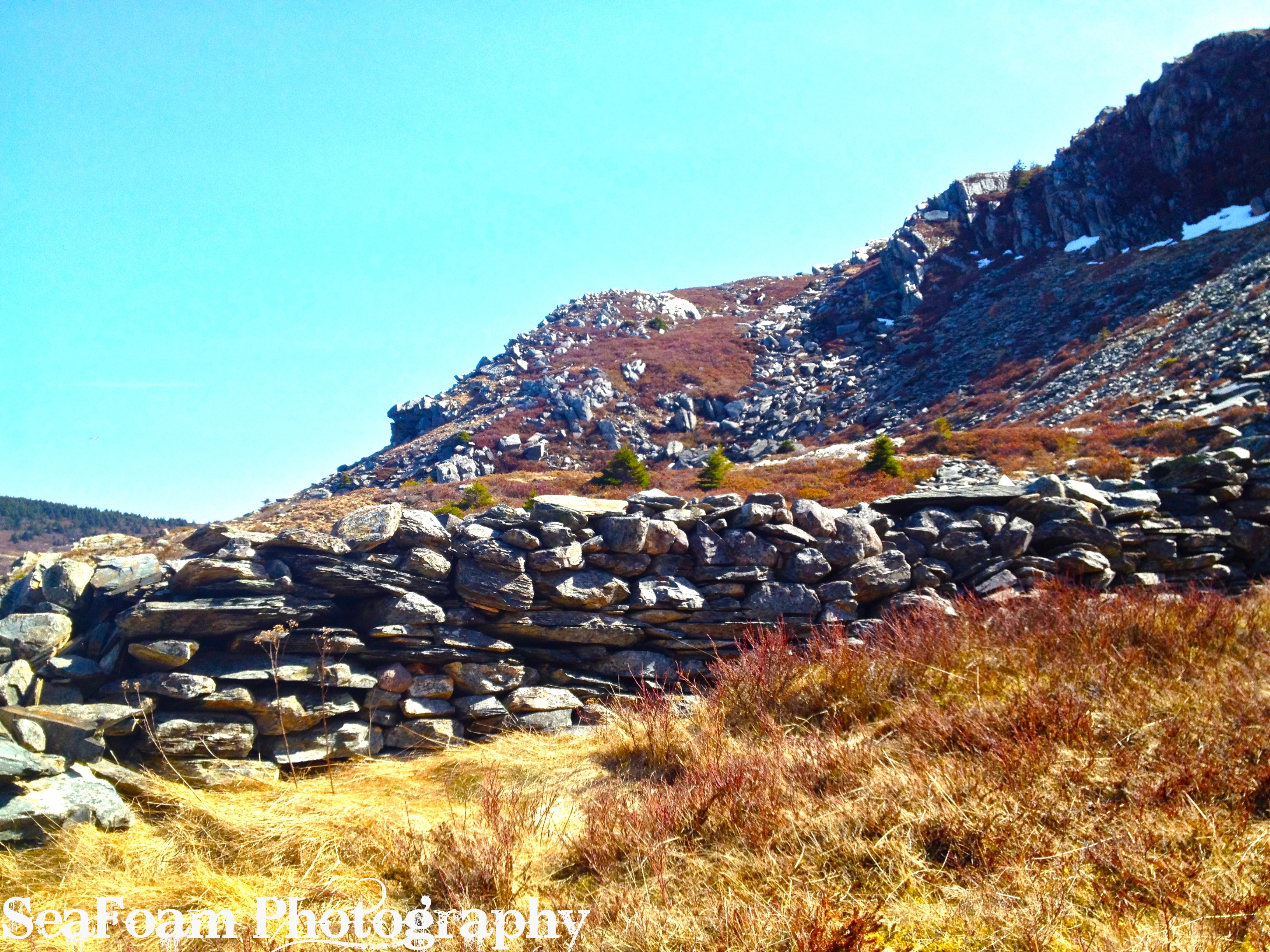
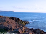
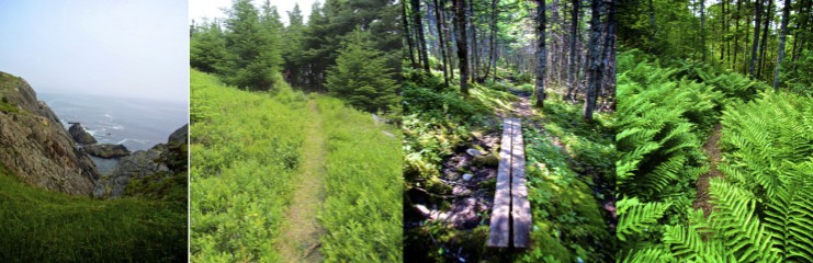
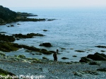
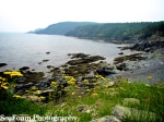
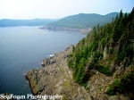
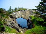
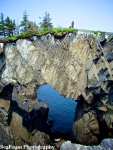
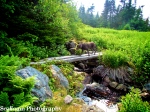
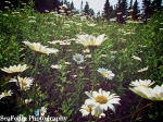
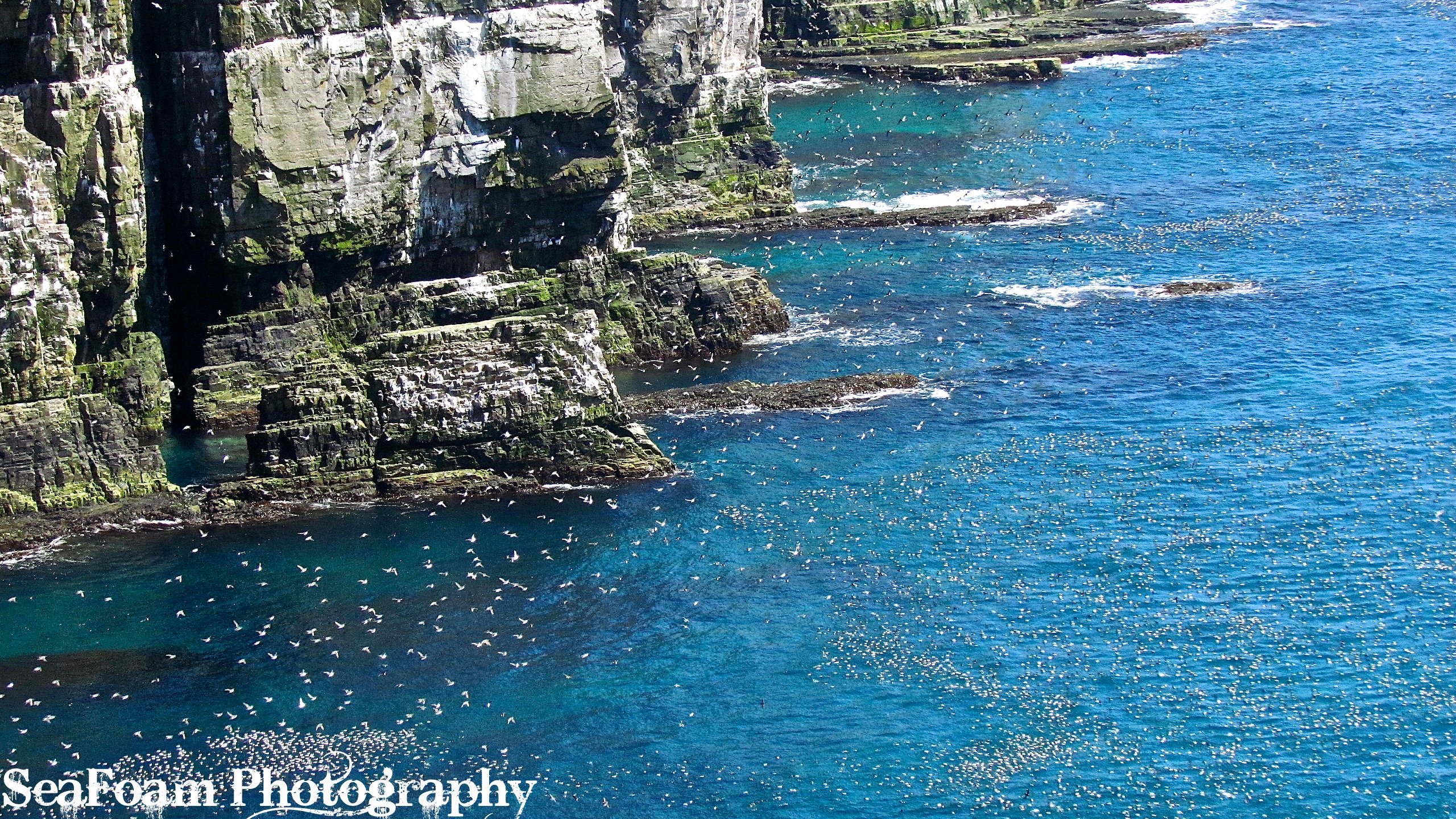
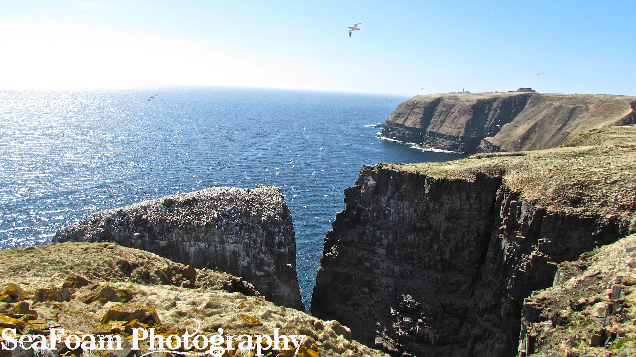
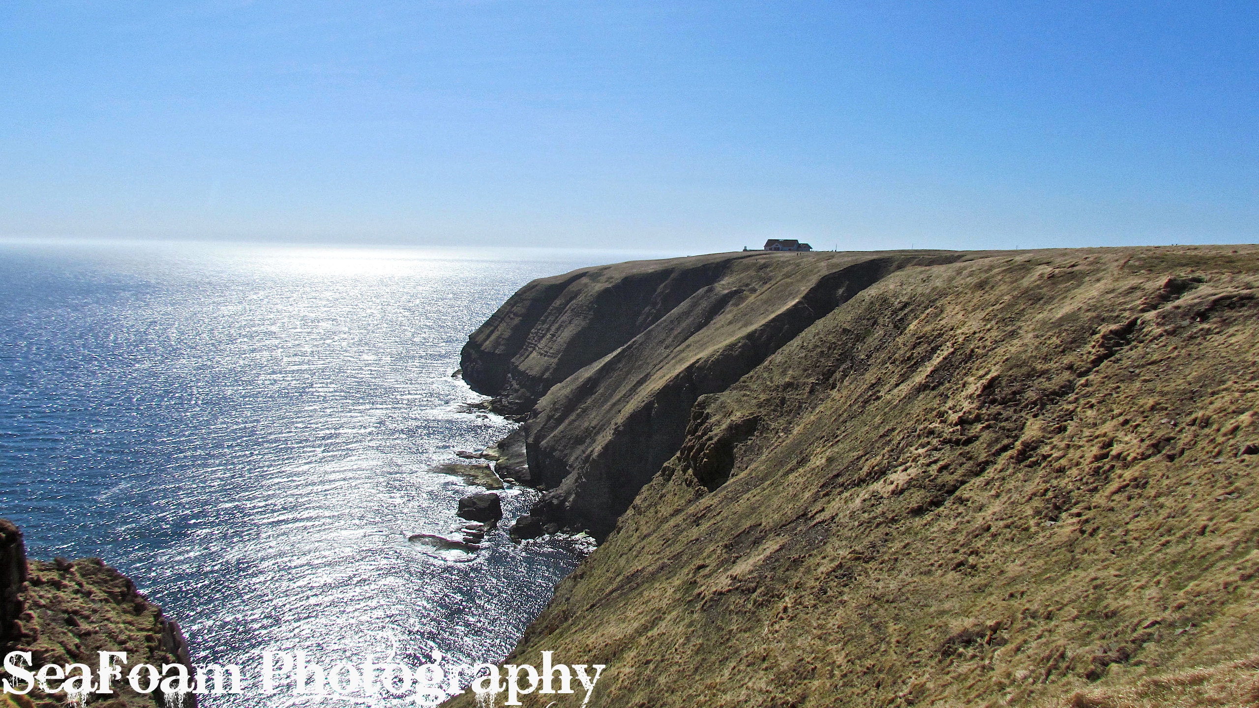
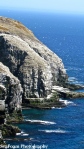
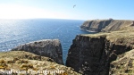
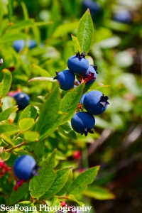
The next 1.5 hours can be described as both grueling and spectacular in one sentence. We passed by sea caverns, Freshwater (an abandoned settlement), numerous waterfalls, ocean vistas and ripe blueberry patches (first week of September). Shortly after Freshwater the trail became extremely difficult. The path went from being relatively well marked and maintained to extremely overgrown and difficult (in places) to follow. We were scrambling over rocks, fighting our way through stunted groves of pine trees, and always aware of that fact that gravity seemed to be reversed here: what goes down must go up. There were countless ascents and descents along this rugged stretch of coastline. I felt like I was in a trance, only thinking of where I should put my foot next and how close to the edge I was. Usually this trance-like-state is welcomed for it is both hypnotic and peaceful, however, this experience seemed more desperate. It might have had to do with the heat or the realization that my water was quickly dwindling. All this aside, the views were stunning, but a sense of urgency to reach our destination was always prevalent.
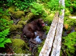
It was along this overgrown section that we became aware that our 2 liters each (4 liters total) of water was not going to be enough. In comparison to the typically cool and windy days that are often experienced on the Avalon Peninsula, we had chosen a sunny and “hot” 26 Celsius day to do the hike. During the most grueling sections we were surrounded by stunted evergreen and birch trees and could not feel the reprieve of the cool Atlantic breezes. At this point I could feel my hands swelling from dehydration and I knew we must get more water soon because mine was almost gone. Luckily there were many fast-flowing streams along the path that we took full advantage of when filling our water bottles. Our Chocolate Lab, Ava, also used these spots to cool down and have a drink.

When we neared the section that we thought must be close to the Spout, around 2:00 p.m., we passed a group of hikers who in fact told us we were still another hour and 15 minutes away. At first our spirits fell, but, at least we knew where we were. Shortly afterwards we encountered a couple around our own age who also had a dog. Our shared joy at finally being granted a day outside by the weather gods and our joined commiseration at this long stretch of over overgrown trail gave us a new found energy to push forward. Somehow knowing we were not the only ones undertaking this physical test gave us that extra bit of fuel that we needed.

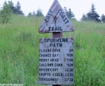
At this point we realized our lack of knowledge concerning our location on the trail stemmed from the lack of cell service. Compared to our other hikes along the East Coast Trail, we had always found long stretches of service, enabling us to pinpoint our exact location on a map. We had glanced at the distance on a map at home before leaving and knew we could make it in time, but having an actual map issued by the East Coast Trail would have been useful in order to use the sign markers as a gauge for how far we had come.

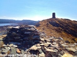
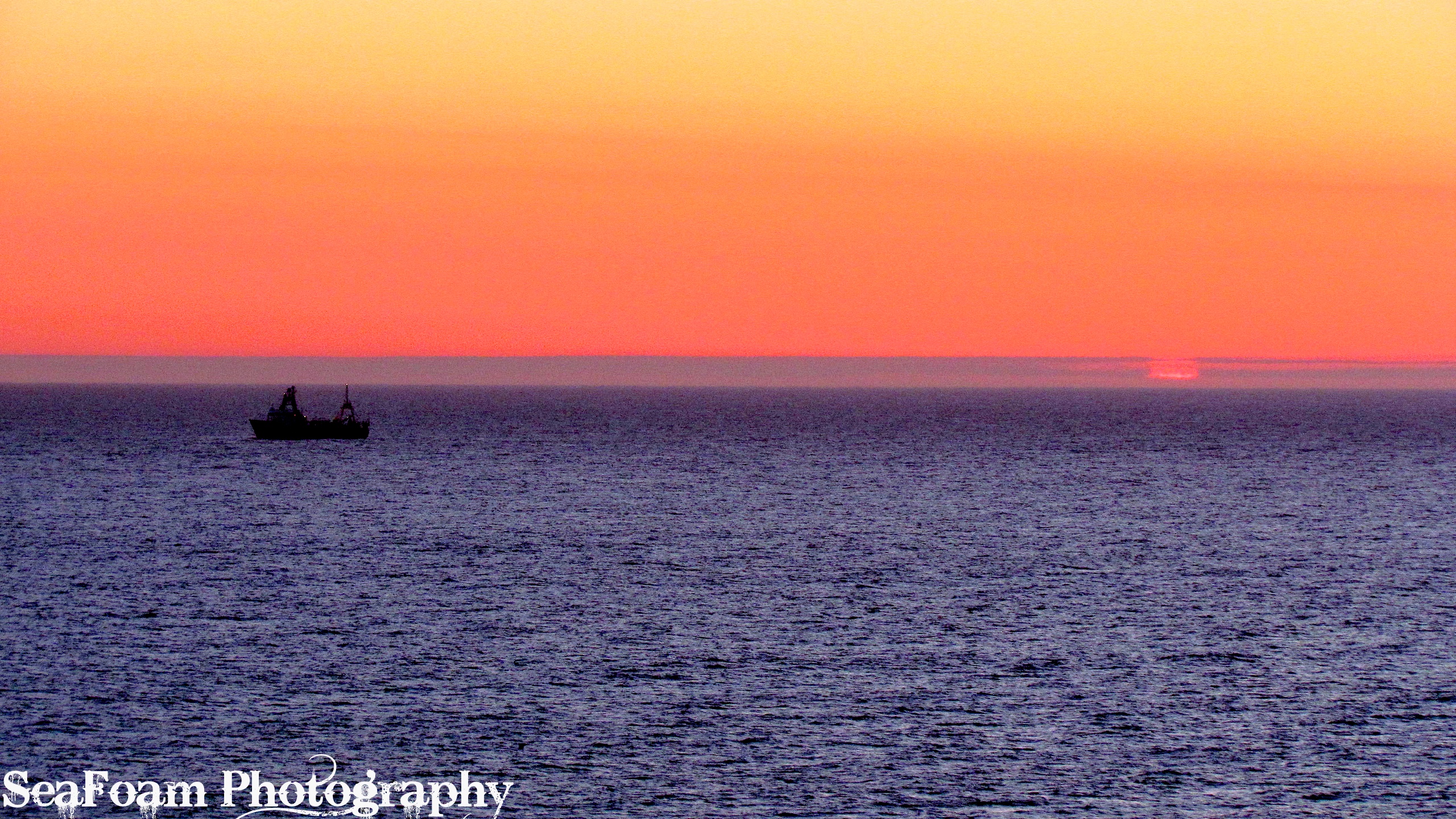
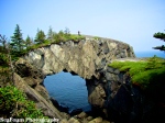
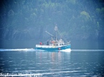
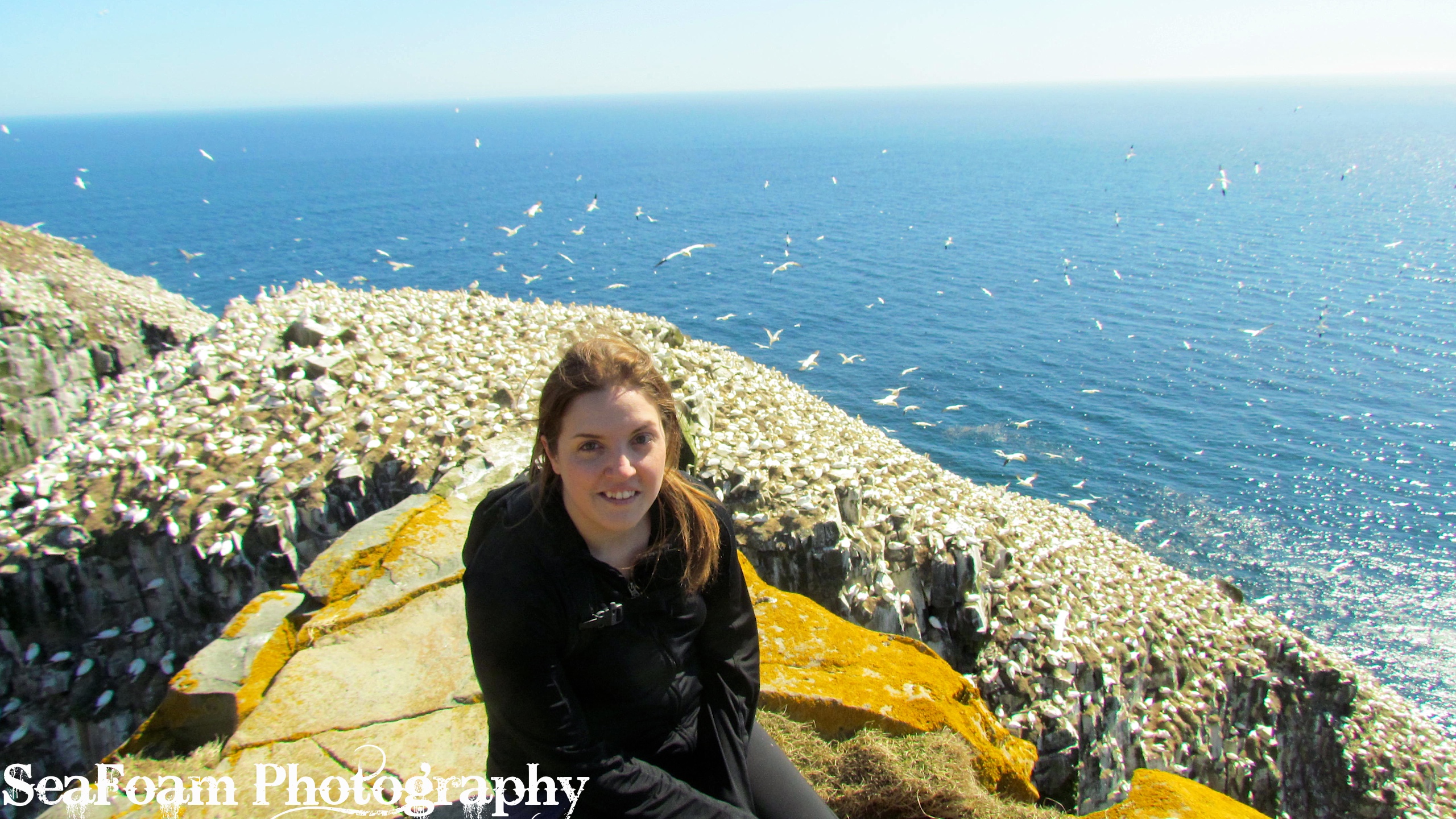
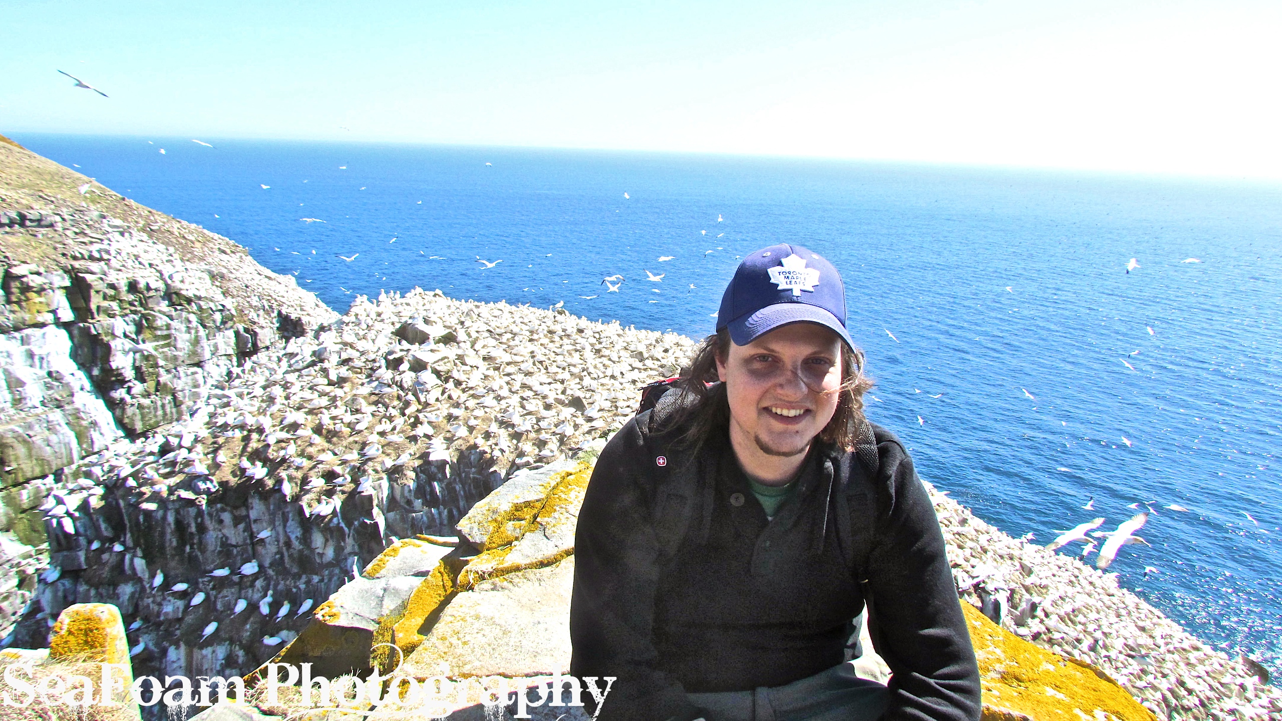
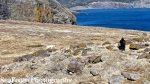
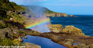
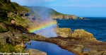
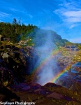
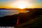
After must anticipation we made it to the Spout! For the first 20 minutes we were the only ones there. We ate a late lunch near the wave-powered geyser and marveled at the power of the spray and the beauty of the rainbows that gleamed in the mist. Part way into our stay a large group of overnight hikers appeared from the opposite direction (Shoal Bay road). From other accounts I have read the Shoal Bay Road access point is a lot less strenuous and shorter. Some hikers were brave enough to get right under the powerful geyser itself to experience a salt water cleansing from their trials on the trail. I was content to sit and view the spectacle from a distance, for I knew our time must be short at this natural marvel. We stayed 30 minutes, just long enough to eat, snap some photos, and have a brief moment of reflection. We left wishing we had more time to relax here by the ocean and let our minds be stilled by the rhythmic action of the waves. By the time we left it was 3:45 p.m. and sunset was due at 8:30 p.m., we would have a race on our hands to get back to our car before dark.

The way back, as all trips do, seemed to go more quickly. The idea that every step brought us closer to the end seemed to propel us forward. The toughest part was again getting out of the overgrown section of the trail. This time, however, the sun had sunk lower and was not hammering down on us and we could feel a cool breeze coming off the ocean. My legs eventually found a new strength I did not know that they had. By the time we got out from under the forest and into the open air along the cliff edge, I felt like were making good time.
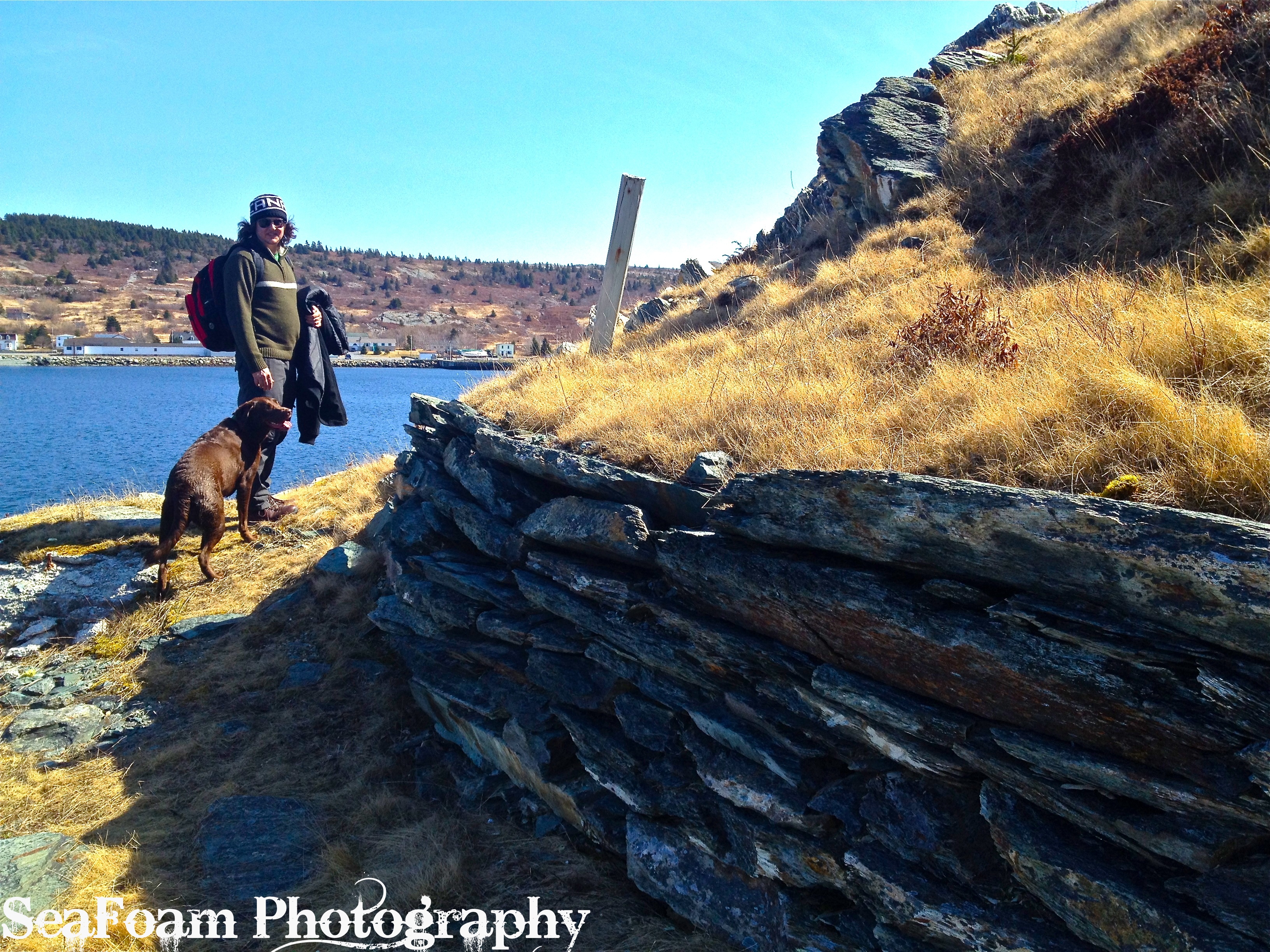
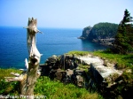
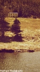
We stopped briefly at the abandoned settlement of Freshwater to soak our tired feet in the stream and take a break. While we soaked our feet in the series of small waterfalls we saw two bald eagles soar over head. We also met an overnight camper here who had made his camp amid the rubble of an old homestead. While there are no official campsites here there is a pit toilet, and the water from the stream is also quite refreshing. It would be a lovely spot to camp for the night. Our feeling of sanctuary from the call of the trail was short lived. We were quickly on our way up the cliff to the lighthouse in the distance.

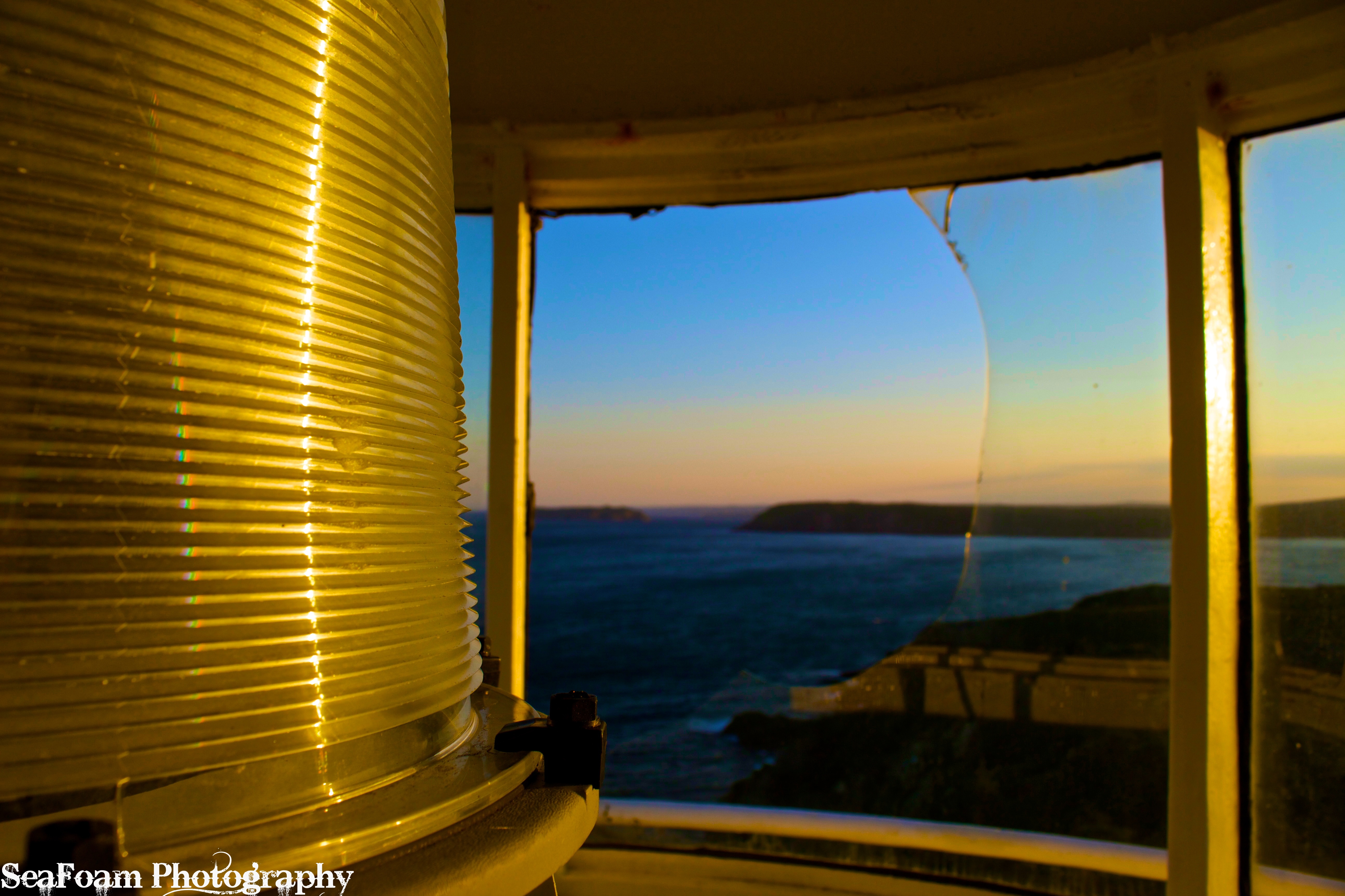
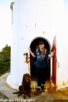
Our second trip to the lighthouse was an unexpected treat. While before the door stood closed, this time it stood ajar. We took this as an opportunity to look inside. At the base there were numerous beer bottles, plastic bags, and empty cans of beans strewn around. We peered up the flights of ladders to the stop and called to anyone who may be dwelling there, and got no response. Never to pass up an adventure I cautiously climbed up the abandoned lighthouse to peer out of its top most windows. The view was stunning. At this point the sun was most decidedly setting, and we still had a hour more to go. If we kept our pace up we would just make it before we lost the light.
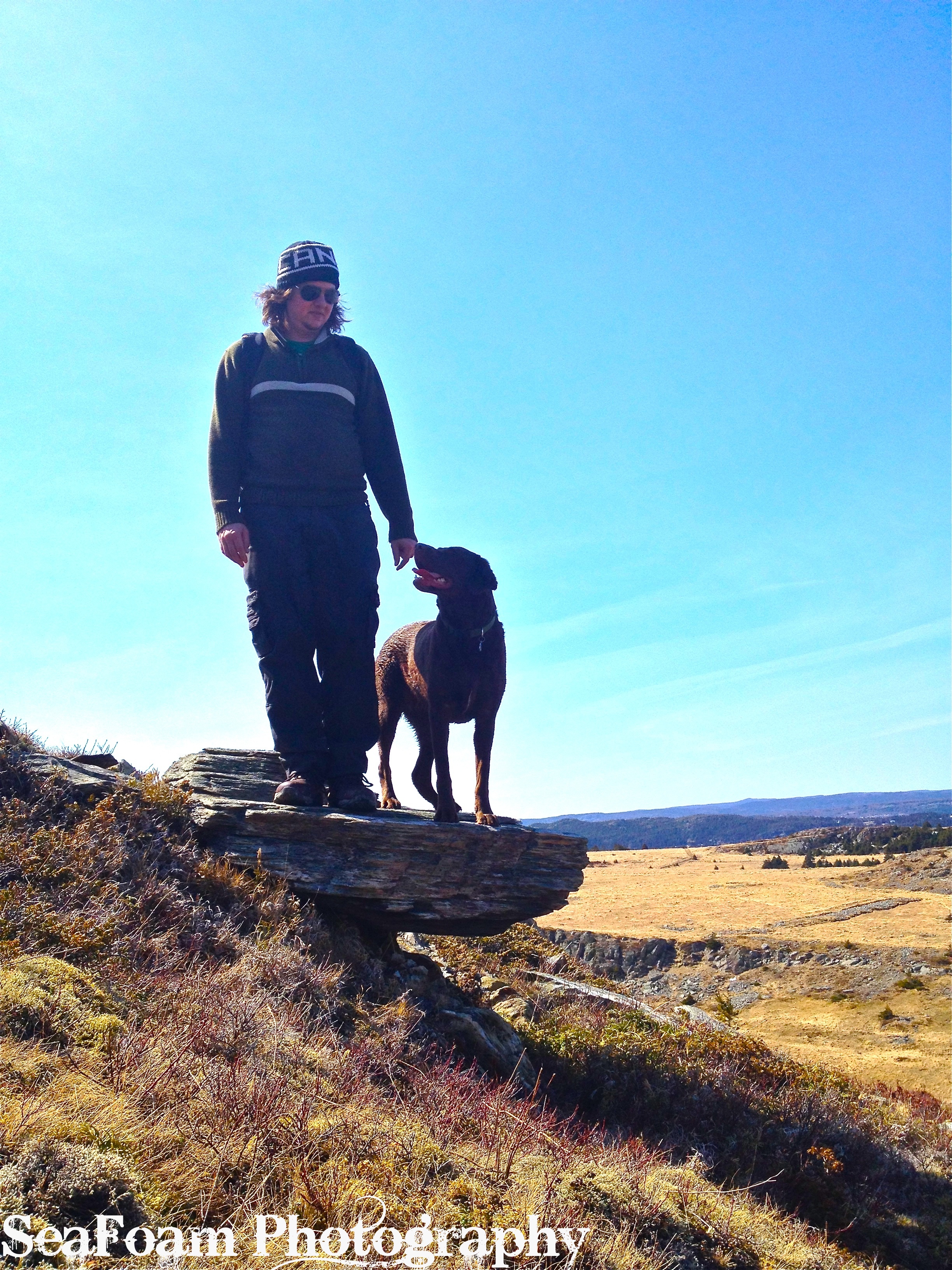
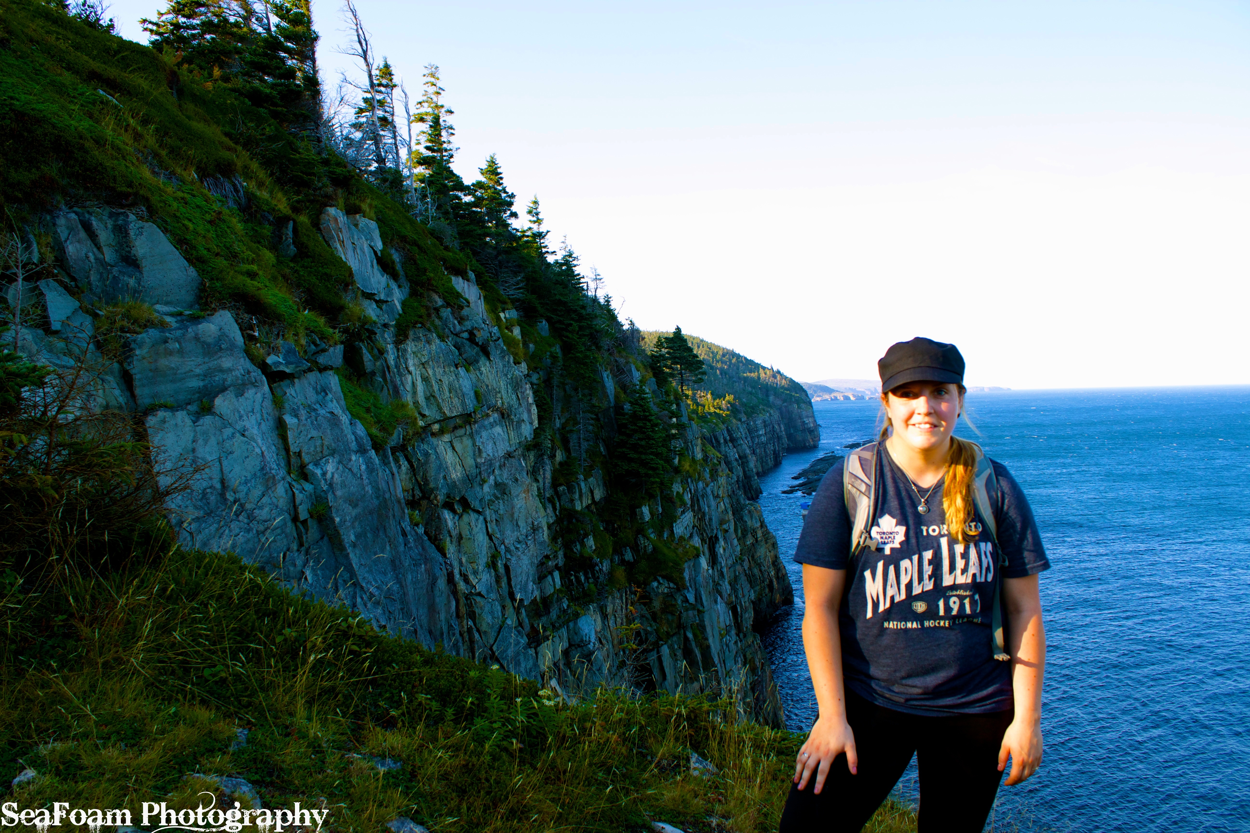
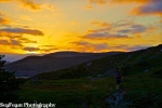
The section called the Flats is gorgeous to traverse at sunset. I was able to get some stunning pictures of my two hiking companions. It was during this section of the trail that I noticed Ava was walking oddly. She seemed to be trying to take pressure off her back paws, and was taking frequent breaks. We tried to examine her but with the fading light we could not tell if there was anything majorly wrong, we knew at least that she wasn’t severely cut or bleeding. The sun had sunk below the distant hills at this point and the moon was rising quickly at our backs so we knew had to press on.

We hiked for another 20 minutes but had to stop because Ava collapsed on the trail. At first she was too exhausted to even take a drink. After 10 minutes or so we tried to get her up and moving again, but she refused to budge. We knew there must be something wrong with her, but we didn’t know what. All we knew is that we were still a good 30 minutes from our vehicle and the light was virtually gone. A flurry of thoughts began to go through our heads. Could we carry a 90 pound Chocolate Lab for 30 minutes along the cliff-hugging trail? Was there something we could fashion with what we had with us to make it easier to carry her? Could we somehow spend the night here with what little gear we had? Was one of us going to have to go for help? I still had no cell service so calling for help was not an option. We finally decided the best plan for the moment was to let Ava rest for another 15-20 minutes. After her rest she was able to get back up on her feet with some gentle coaxing. At this point we had completely lost the light; it was pitch black. With each of us armed with a flashlight against the darkness we carried on carefully and slowly. We were making steady progress until we reached a rock face that we had had to scale down earlier in the day. We knew Ava would never be able to make it up, so we had to coordinate our efforts to carry her up it in the dark. It was no easy feat, but we did it. We made it another 5 minutes down the trail before she collapsed again. We let her rest for another 10-15 minutes. We gave her more water and a treat all the while stroking her and telling her what a good girl she was. We knew we were close to our vehicle at this point, roughly 20 minutes away, but that 20 minutes seemed like hours given our current situation. After her second rest she was able to get back up on her feet and shakily continue on with the hike. By the time we reached Gunner’s Ridge (300 meters from the parking lot) we knew we had made it. Yet, while we knew we were a stone’s throw from the car, Ava did not. She stopped again unable to continue so we had to take a third break. At last, however, we all made it back to the car where we all promptly collapsed at 9:30 p.m.. We made it back to St. John’s by 10:15 p.m..

When we got home, under proper lighting, we were able to see exactly why Ava had been collapsing on the trail. There were several sections of the thick padding on her paws that been worn away completely. The gravity of the situation we had faced on the trail set in, and we knew we had one amazing dog. Despite the immense pain she must have been in Ava had soldiered on. We quickly went about gently cleaning her wounds with a saline solution. We covered them with Polysporin and gently wrapped them in bandages, we then put baby socks over her paws so she wouldn’t chew the bandages off. We spent the next few days caring for our poor pup, cleaning her wounds, re-bandaging them, and carrying her outside whenever needed. It took just over a week for her to fully recover. While Ava has likely forgotten most of her ordeal on the Spout Path, we will never forget the lessons we learned.

We learned several key lessons every hiker should know when setting off into the wilderness, especially if you share your adventures with canine companions.
1. We didn’t leave ourselves adequate time to do the hike. If nothing had gone wrong, sure we would have made it back before dark no problem. But you should never plan for the expected, you have to be prepared for the unexpected. Also, in my mind hiking shouldn’t be about making the best time, it should be an experience that is enjoyed and savored. Our hike to The Spout felt rushed, we didn’t have enough time to enjoy the destination we had worked so hard to get to.
2. We learned that we have to build Ava’s strength up for hikes like this, just because she went on a long hike two months ago doesn’t mean she can handle a strenuous hike today. When we did the Spout Path the weather for the entire month prior had been wet, cloudy and generally terrible. We had not been taking Ava out on small hikes, so her pads might not have been as tough as they have been in the past. The day of the hike, the weather was scorching hot, the rocks we were scrambling over were warm to the touch. Not having her pads in top notch shape meant the warm rocks and rough terrain took their toll on her. There are dog boots available that could have helped prevent Ava’s injuries from occurring, we may try them out in the future.
3. We should have brought more water with us. We brought 2 Liters each, but given the strenuous nature of this hike it wasn’t enough considering the conditions we were hiking in. We were just lucky there were water sources along the trail.
While we did make some very poor choices, we were prepared on other fronts.
1. We did have emergency supplies with us (flashlights, warm clothing, rain ponchos, a first aid kit, pocket knife, extra food and water). The flashlights proved to be very useful!
2. We had also let someone know we were going on the hike, in this case it was my parents. Before we set off I told them our route, starting time, and projected end time. When I called them at 9:30 p.m. to let them know we had finally finished, they were just beginning to look up our route online because they had begun to worry. If something had gone seriously wrong it was reassuring to know that at least someone knew where we were.
Recommendations for other Hikers:
If you are making this a day hike, start early! If you have the time and gear I would recommend making this an overnight hike and breaking the length of the trail up over two days. There are overnight campsites at Little Bald Head (just before The Spout if hiking from Bay Bulls). If you are hiking with a group, or if you have access to two cars, I would also recommend parking one car in Bay Bulls and the other at the Shoal Bay Road access point. This way you won’t have to hike the most difficult part of the trail twice, but you also won’t miss out on the wonderful scenery. If a less strenuous hike is what you are after, start and end at Shoal Bay Road. Just remember that the 6 km access road is very boggy and often flooded.
Be sure to bring lots of water, extra food and emergency supplies. There is no cell service so make sure someone knows that you have decided to go out hiking and when you are due back. If hiking with pets be sure to take lots of breaks, and ensure they are up for the task. Most of all make sure you take time to enjoy the experience on the trail. Nothing beats the sense of freedom, discovery and serenity you can get when you escape into the wilderness. Happy hiking everyone!


-

- Taking a break in a stream.


-

- Bay Bulls lighthouse.


-

- Yummy blueberries.


-
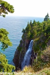
- A waterfall cascading into the ocean below.
-

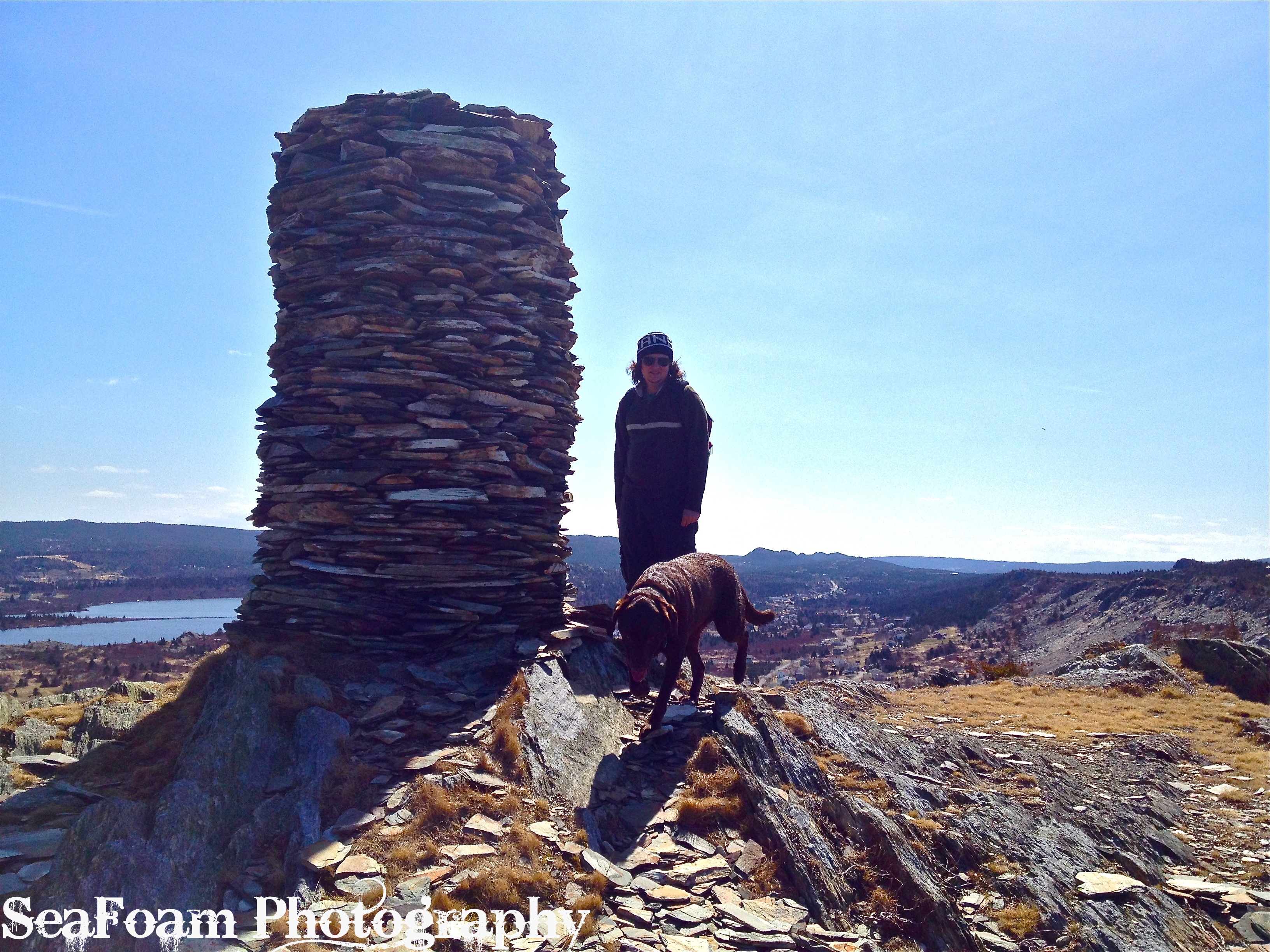
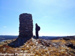
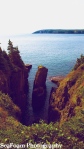
- Giant sea stack.


-
- Finally, we reached the Spout and suddenly our fatigue disappears.
-

- Basking amid the spray!
-

- The Spout
-

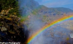
- A hiker takes a Spout shower. Double Rainbow all the way!


-

- The sun sets over Bay Bulls.

-
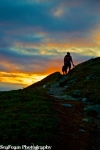
- Hiking into the sunset.
-
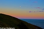
- Moonrise.
-

- No longer are we guided by the sun, but by the light of the moon. Along with the help of flashlights of course. At least the moon was almost full, so it was reflecting quite a bit of light.